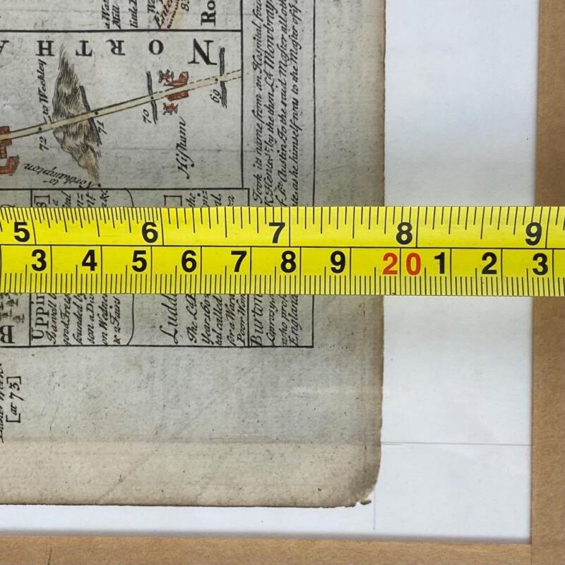
An antique 18thc copper engraving double sided road map. Shows the route from St Albans via Bedford, Wellingborough, Kettering, Rockingham, & Uppingham to Oakham.
Emanuel Bowen (1694-1767) was a Welsh map engraver and cartographer who achieved the unique distinction of becoming the Royal Mapmaker to both King George II of Great Britain and Louis XV of France. He was highly regarded for producing some of the largest, most detailed, and accurate maps of his era.
Bowen was born in Tal-y-Llychau, Carmarthenshire, Wales, and apprenticed as a merchant tailor before moving to London to work as an engraver. He collaborated with many prominent British cartographic figures, including John Owen and Herman Moll. Some of his notable works include "Britannia Depicta" (1720) and "A Complete System of Geography" (1744-47)
Dimensions~ Frame Height 13 & 1/2" or 34.5cm
Frame Width 10 & 1/8" or 26cm
Page Size Weight 7 & 7/8" or 20cm
Page Size Width 5 & 1/2" or 14cm
The frame is a later addition to the map. The frame has glass on the front and the back to display and protect the piece from both sides,
Weight 968gs
Images are an important part of our listing to show the item clearly and accurately and must be carefully inspected before purchase. A supersize option has been provided for clear preview from all angles of the item.
We do not refund postage on returns unless there is an error in our listing.
All items will be very carefully packed with professional materials for international or domestic delivery.
We do not under declare customs.


